方案摘要
方案下载| 应用领域 | 农/林/牧/渔 |
| 检测样本 | 其他 |
| 检测项目 | 理化分析>其他 |
| 参考标准 | ISO12578 |
Recent progress in the cartography market can only be described as radical. The time-consuming days of mapping by hand seem numbered, as geographic information system (GIS) experts, professional land surveyors (PLS) and others within the field of cartography awaken to the advantages of integrating light detecting and ranging (LIDAR) into their mobile mapping systems. LIDAR is similar to radar, except that the sensor sends out and receives....................
文献贡献者


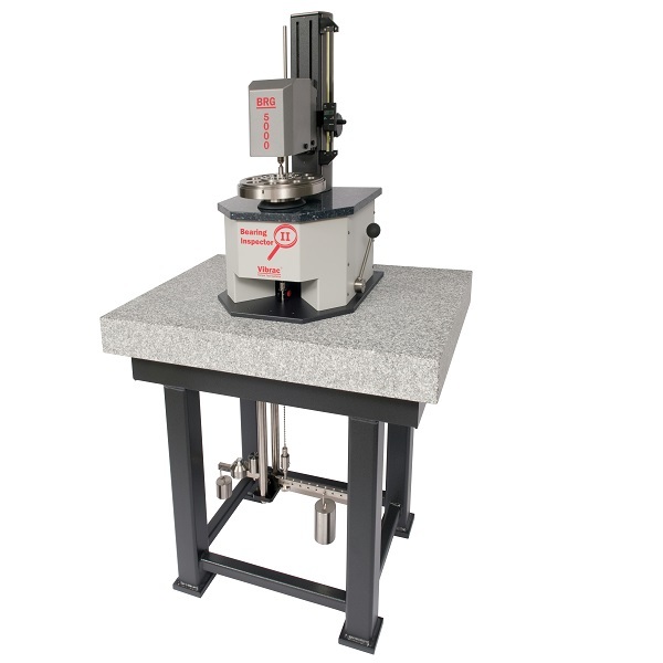
启动摩擦力矩测量
美国Vibrac扭矩测试仪文献
静态检测和分析 Static Calibration and Analysis HDL-64E S2
相关产品

关注

拨打电话

留言咨询